Burnt Village Detection
Time-series satellite imagery analysis for settlement destruction verification
BRIEF
Application of time-series satellite imagery analysis for the identification and verification of settlement destruction across conflict-affected regions, using structured remote sensing change detection techniques.
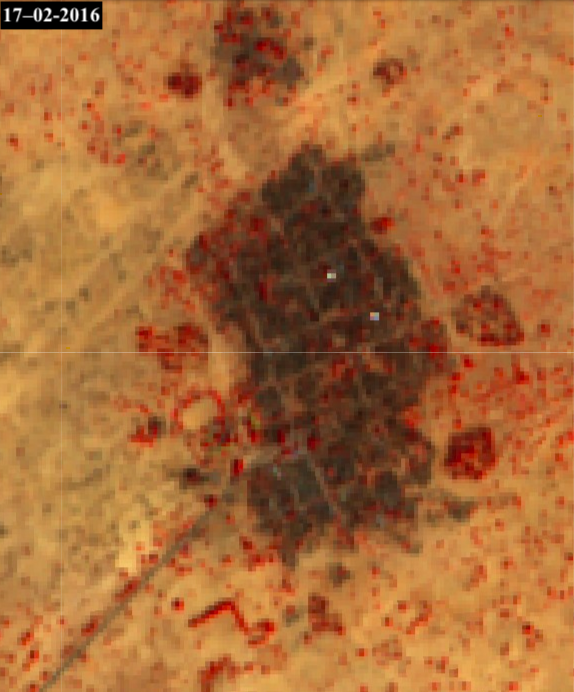
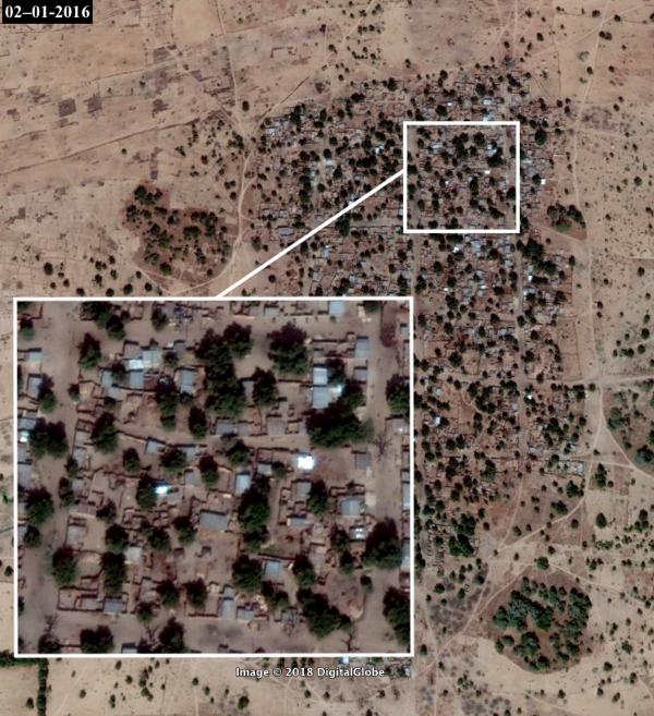
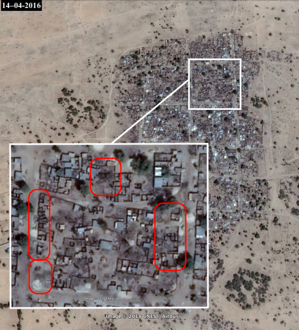
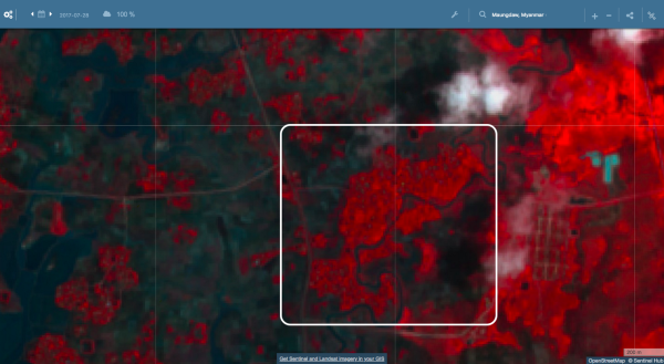
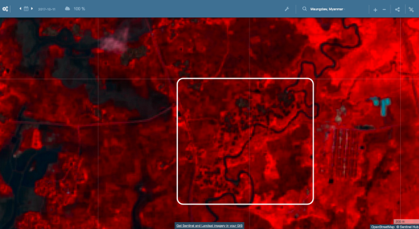
The methodology relied on comparative temporal analysis of high-resolution satellite imagery, where baseline and post-event imagery were systematically aligned to detect structural and environmental change.
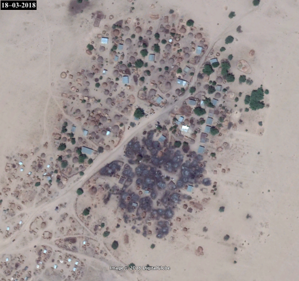
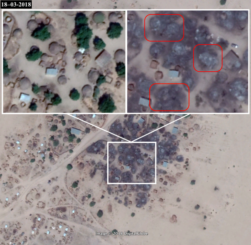
Primary detection signals included disappearance of building footprints, abrupt alterations in land cover, and surface reflectance shifts consistent with fire damage or large-scale destruction events. Vegetation loss and terrain disruption were also used as secondary indicators of settlement-level impact.
Damage was assessed both at micro scale (individual structures) and macro scale (clustered settlement patterns), enabling differentiation between isolated incidents and coordinated or widespread destruction.
All detected anomalies were subjected to multi-source verification, including cross-referencing with open-source reporting, humanitarian documentation, and independent OSINT investigations. Only corroborated cases were compiled into structured evidence packages designed for traceability and external validation.
The workflow prioritised reproducibility and evidentiary clarity, ensuring that each identified event could be independently verified through satellite time-lapse reconstruction and supporting metadata.
OPERATIONAL DETAILS
- >Conducted comparative temporal analysis of high-resolution satellite imagery for structural change detection
- >Identified destruction signals including building footprint disappearance, land cover alteration, and fire-consistent reflectance shifts
- >Assessed damage at micro scale (individual structures) and macro scale (clustered settlement patterns)
- >Applied multi-source verification cross-referencing open-source reporting and humanitarian documentation
- >Compiled structured evidence packages designed for traceability and independent validation
TAGS
EXHIBITS